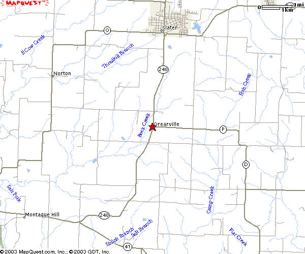
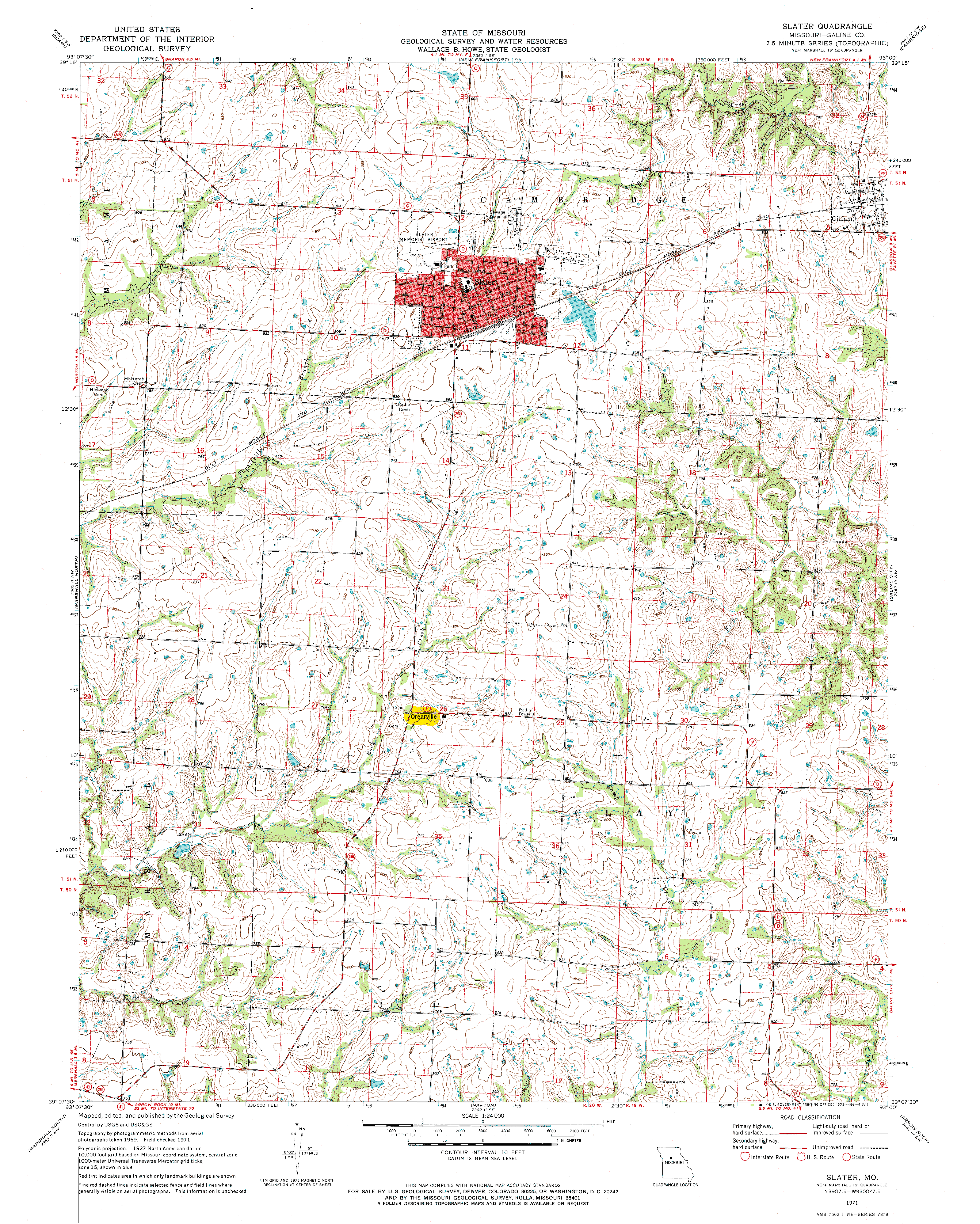
Orearville, Missouri

| Orearville, Missouri Location: Saline County, at the intersection of Route 240 and Route P (see detail map). Founder: Robert O'Rear (source: http://www.tmgtips.com/orear/Orear05.htm, checked 8 Mar 2003). Coordinates: 39°10'18"N, 93°4'27"W, elevation 780 feet (source: PlacesNamed.com). (Aerial photographs are from Acme Mapper). |
| 1895 U.S. Atlas (link updated 1 Jan 2008) shows Orearville in Saline County, central Missouri, and states that Orearville has a Post Office, but no Railroad and no Express Office. |
| According to the Missouri Postal History Society, the Orearville
Post Office was opened in 1875, one of 84 Post Offices opened that
year in the state of Missouri. The Orearville Post Office closed in 1903.
(source: http://www.mophil.org/mopo/y1875.htm,
checked 8 Mar 2003) (see also http://www.mophil.org/mopo/sa195ml.htm). |
|
Orearville R-IV School District Information (2002-2003 School
Year) Orearville School District Map Orearville School District 2000 Census Statistics
|
|
According to http://www.mo-river.net/election/salinedetail.htm (checked 8 Mar 2003), in the 2000 Presidential Election, Orearville Precinct voters cast their ballots as follows:
|
| Orearville Cemetery (source: http://www.rootsweb.com/~mosaline/2tombstones/orearville.htm, checked 8 Mar 2003) 62 names listed (no O'Rears or Orears -- see explanation) Most recent death date: 1957 |
|
Orearville People
|
![[1]](orearvilleaerial8.jpg)
![[2]](orearvilleaerial4.jpg)
![[3]](orearvilleaerial2.jpg)
![[4]](orearvilleaerial1.jpg)